
Imagine a world without Google Maps, GPS, or even reliable, scaled charts. In the 12th century, “the world” was a fragmented tapestry of rumors, ancient legends, and inaccurate sketches. Travelers risked their lives on paths described only in stories.
Into this world of geographical fog stepped Al-Sharif al-Idrissi, a visionary scholar whose work would unite East and West, define an era, and lay the foundation for modern cartography. Born in Ceuta, Morocco, around 1100, al-Idrissi was not just a mapmaker; he was an exceptional geographer, a meticulous researcher, and the creator of the most comprehensive global encyclopedia of his time.
Today, as we explore Morocco and the wider Maghreb, al-Idrissi’s legacy as a brilliant Moroccan-born intellectual stands as a beacon of medieval science and cross-cultural collaboration.
1. The Making of a Medieval Polymath
Al-Sharif al-Idrissi’s background prepared him for greatness. He belonged to the Idrissid dynasty, descendants of the Prophet Muhammad, granting him prestige, access, and education. He studied in Córdoba, the legendary intellectual heart of Islamic Spain (Al-Andalus), where he immersed himself in mathematics, philosophy, medicine, and, crucially, the works of ancient Greek geographers like Ptolemy.
But al-Idrissi wasn’t content with old books. He was a seasoned traveler. As a young man, he journeyed through North Africa, Iberia, and much of Christian Europe, observing landscapes, people, and trade routes firsthand.
This combination of classic Islamic scholarship, rediscovered Greek knowledge, and personal experience defined his unique approach to geography.
2. The Sicilian Connection: A Royal Invitation
Al-Idrissi’s life changed dramatically when he received an invitation from King Roger II of Sicily.
Roger II was an exceptional ruler: a Norman king, a patron of arts and sciences, and deeply fascinated by the Islamic civilization that had flourished in Sicily before his conquest. He recognized the gaps in European geographical knowledge and dreamed of creating a “perfect map” of the known world.
King Roger knew that only Islamic science possessed the tools to realize this dream. He sought the best geographer of his age, and he found him in al-Idrissi. In an extraordinary act of cross-cultural collaboration, the Arab, Muslim geographer was welcomed into the Christian, Norman court in Palermo around 1138.
3. The “Book of Roger”: A Global Encyclopedia
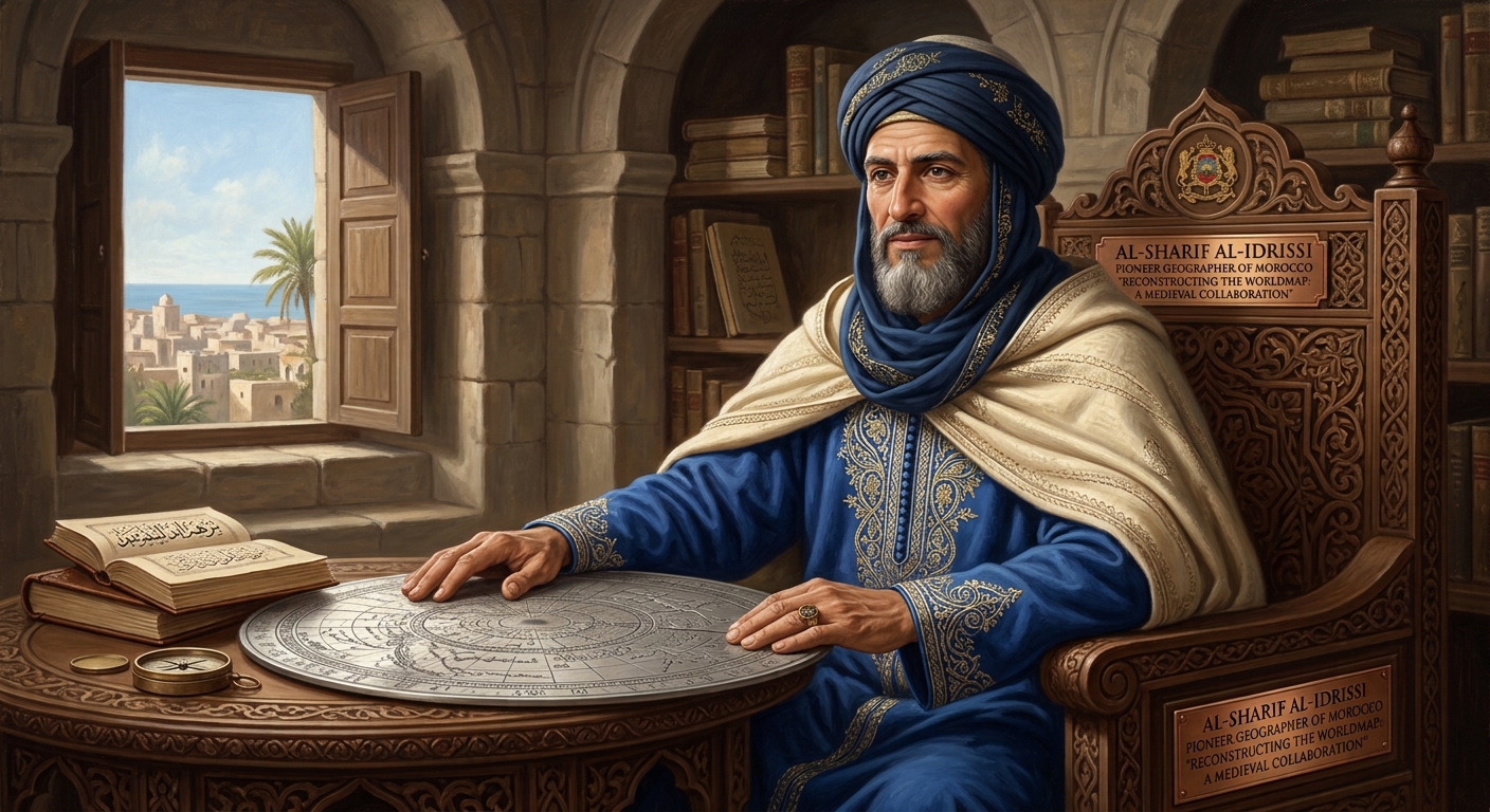
King Roger asked al-Idrissi for two things: a precise, circular map engraved on a large silver disk, and a comprehensive book explaining the geography of the entire world.
Al-Idrissi spent the next 15 years in Palermo on this massive project. He didn’t just guess; he treated geography like a hard science:
- Ptolemy’s Grid: He adapted Ptolemy’s system of climate zones, dividing the habitable world into seven horizontal bands, then subdividing each zone into ten vertical sections.
- Crowdsourced Research: Realizing he couldn’t travel everywhere, al-Idrissi established a “research bureau.” The court dispatched ships and expeditions equipped with specific questionnaires to verify landmarks, distances, and local resources.
- Verifying Every Detail: He cross-referenced these new reports with the works of previous travelers—Arab, Persian, and Greek—accepting only details that multiple sources confirmed.
The Tabula Rogeriana and the Nuzhat al-Mushtaq
The result of this work, completed around 1154, was unprecedented:
- The Silver Planisphere: He created a 400-pound, circular silver plate, engraved with the Ptolemaic grid, major cities, trade routes, rivers, and even mountain ranges. It was a masterpiece of scientific art, the most accurate representation of the world until the Age of Discovery.
- The Book of Roger (Nuzhat al-Mushtaq): This book wasn’t just captions for the map; it was a comprehensive global encyclopedia. It contained precise coordinates, detailed physical descriptions of landscapes, and fascinating insights into the culture, politics, and economy of hundreds of cities and regions, organized methodically by his climate-and-section grid.
When modern scholars digitized his data, they found al-Idrissi’s work wasn’t just accurate for the time; it was exceptionally precise, placing major cities and regions correctly relative to each other across a vast area stretching from the Atlantic to China.
4. The Legacy: East Meets West, Ancient Meets Modern
Al-Sharif al-Idrissi’s work had an immediate and profound impact:
- Defining Medieval Geography: For over three centuries, his maps and book were the undisputed authority on world geography in both the Islamic world and, eventually, Europe. No other work achieved its scale of verification and detail.
- The Bridge to Modernity: European cartographers, struggling with the Ptolemaic grid, found in al-Idrissi the perfected methodology. Modern scholars have digitized and analyzed his entire dataset, validating the exceptional precision of his research and placement of regions across the known world.
- Moroccan Intellectual Power: His story reminds us that during the complex 12th century, the Maghreb was not isolated; it was a center of intellectual production, contributing key scholars to dynamic intellectual exchanges across the Mediterranean.
Practical Tips: Discovering al-Idrissi’s World
Al-Idrissi’s Tabula Rogeriana is oriented with South at the top, reflecting a common Islamic cartographic tradition, so modern viewers need to look “upside down” to recognize Europe and Africa. Don’t miss the modern reconstructions and digital projects that allow you to explore his original 1154 map and climate zones!
Conclusion: A Visionary Still Guiding Us
The Nuzhat al-Mushtaq means “The Excursion of One Who Yearns to Penetrate the Horizons,” reflecting al-Idrissi’s own relentless curiosity. He was more than a scientist; he was a bridgemaker who used knowledge to connect cultures and make the world a less frightening, more understandable place.
When you look at a map today—or use a navigation app—you are benefiting from a lineage of knowledge that al-Sharif al-Idrissi, the Master Geographer, defined. Born in Ceuta, trained in Córdoba, and collaborating in Palermo, he proved that science knows no borders, and that true accuracy only comes from cross-cultural cooperation.
His maps were lost or fragmented after King Roger’s death, but his method and his book survived, continuing to guide travelers and scholars for centuries. Today, we remember him as the man whose vision still guides our understanding of the world.
Leave a Reply